And the Winners Are
Emory grads are finalists for "Oscars" of public service

Two Emory alumni have been chosen as finalists for the Partnership for Public Service's Samuel J. Heyman Service to America Medals program.
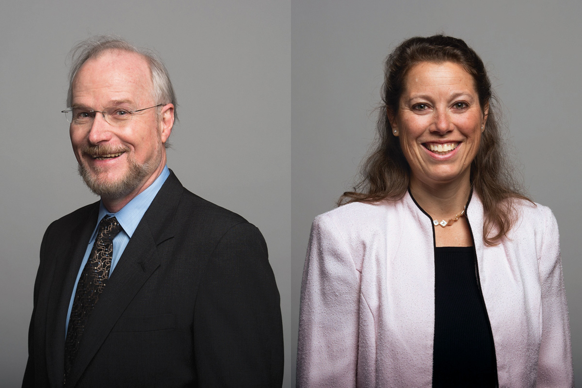
John Pallister 74C, chief of the Volcano Disaster Assistance Program at the US Geological Survey, and Carrie Stokes 88C, chief geographer and director at the US Agency for International Development (USAID), are among 32 finalists for the award.
The Partnership for Public Service is a nonprofit, nonpartisan organization based in Washington, D.C., that works to revitalize the federal government by inspiring a new generation to serve and by transforming the way government works. The Heyman Medals, known as the “Sammies” and regarded as the “Oscars” of government service, are a highly respected honor with a vigorous selection process.
Pallister is being recognized for strengthening volcano readiness and warning systems worldwide, which has helped countries forecast eruptions, save lives, and reduce economic losses. Stokes is being recognized for helping USAID make better decisions about its economic and humanitarian assistance in developing countries by championing the use of satellite data and geographic information to combat poverty, disease, and natural disasters.
Created in response to the disastrous eruption of the Nevado del Ruiz volcano in Colombia in 1985 that killed more than 23,000 people, the Volcano Disaster Assistance Program has been working with countries ever since to prevent such calamitous loss of life. Led by Pallister for the past 10 years, the small but highly skilled team has helped developing countries build their technical and intellectual capacity and set up volcano early-warning systems.
Stokes’s efforts to champion the use of satellite data and other geographic information have contributed to the response to the migration of thousands of unaccompanied children from Central America, the earthquake in Nepal, and the prevention of malaria in Mozambique. Her belief in the value of geospatial technology to help solve problems led to the creation in 2011 of the GeoCenter within USAID, which is institutionalizing the use of geospatial tools and analysis in support of international development.
In support of USAID’s long-term vision to end extreme poverty, Stokes’s team developed a method to analyze the drivers of human vulnerability and display the spatial variation across a country. This helps the agency target areas of greatest need to maximize the impact of its programs.
The team looks at multiple threats to livelihoods, such as shocks to health, agriculture, food prices, weather, and natural disasters. They also analyze contributing factors such as age, gender, ethnicity, and education levels of households, and the team maps the results. Stokes’s work has influenced international development in Africa, Asia, Latin America, the Caribbean, the Middle East, and Eastern Europe.


